Rat Rock to The Sisters, March 11th 1996
Click on the small image to see the full-sized one.
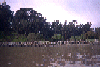
 The salt marshes of China Camp State Beach
Links to related images: Nearby. Proofs. Map.
Approximate location: 37.9618988037109N / 122.483001708984W.
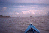
 Is this the natual shoreline of San Pablo Bay at China Camp?
Links to related images: Nearby. Proofs. Map.
Approximate location: 37.9618988037109N / 122.483001708984W.
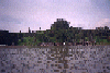
 Another park south of China Camp
Links to related images: Nearby. Proofs. Map.
Approximate location: 37.9618988037109N / 122.483001708984W.
 The rock quarry south of China Camp State Park
Links to related images: Nearby. Proofs. Map.
Approximate location: 37.9618988037109N / 122.483001708984W.
 Another park south of China Camp
Links to related images: Nearby. Proofs. Map.
Approximate location: 37.9618988037109N / 122.483001708984W.
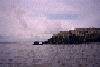
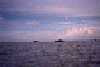
 China Camp and Rat Rock from a distance
Links to related images: Nearby. Proofs. Map.
Approximate location: 37.9618988037109N / 122.483001708984W.
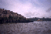
 The pier at China Camp State Beach
Links to related images: Nearby. Proofs. Map.
Approximate location: 37.9618988037109N / 122.483001708984W.

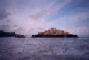
 The Sister Islands
Links to related images: Nearby. Proofs. Map.
Approximate location: 37.9618988037109N / 122.483001708984W.
All text and images Copyright © 1996 by Mike Higgins / contact