Baja, Punta Las Animas to Sierra Agua de Soda, April 22nd 2000.
Click on the small image to see the full-sized one.
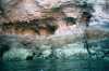
 Pastel rocks on the shoreline
Links to related images: Nearby. Proofs. Map.
Approximate location: 28.8352756500244N / 113.237632751465W.
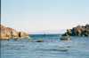
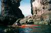
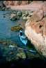
 Kayakers between rocks
Links to related images: Nearby. Proofs. Map.
Approximate location: 28.8344478607178N / 113.232391357422W.
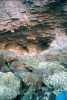
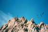 Pelicans over rocky cliffs
Links to related images: Nearby. Proofs. Map.
Approximate location: 28.822717666626N / 113.218315124512W.
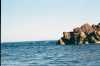
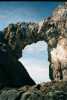 Big arch
Links to related images: Nearby. Proofs. Map.
Approximate location: 28.7977504730225N / 113.200202941895W.
 Maryly in front of big arch
Links to related images: Nearby. Proofs. Map.
Approximate location: 28.7977504730225N / 113.200202941895W.
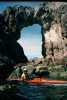
 Scupper behind the arch
Links to related images: Nearby. Proofs. Map.
Approximate location: 28.7964706420898N / 113.199264526367W.
All text and images Copyright © 2000 by Mike Higgins / contact