I despaired of finding enough space for everything in my kayak. Eventually I ended up leaving my diving gear and a folding chair behind in the truck. Patrick had lots of room in his home-built wooden kayak and graciously used some of it to carry my hiking boots for me. We managed to finish packing and make time for breakfast at the restaurant before we launched at 11:00 AM.
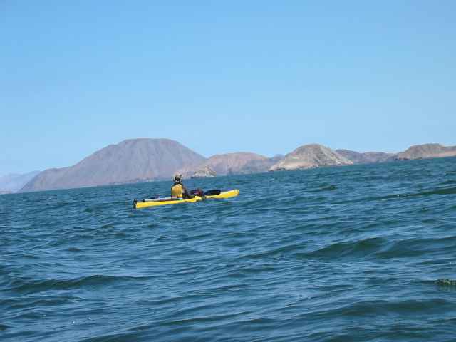
As we paddled away from shore a pod of dolphins swam along with us for a while. At first the air was calm and then the wind started blowing, gusting in many directions and foiling analysis. We paddled out between the islands guarding the entrance to Bahia de los Angeles. I discovered a few islands that were not on my maps! The Mexican topographic maps are notorious for not including islands on the maps. Many of the early maps did not show islands like Guardian Angel Island at all, even on quadrangles where that island filled most of the frame. Instead they just painted those areas blue. Apparently the geologic survey department thought that islands are the responsibility of some other department, like the navy. It took me years to track down all the maps of this huge island. Another island I intend to visit, Isla Tiburon, still does not have good maps even though it is the largest island in the Sea of Cortez.
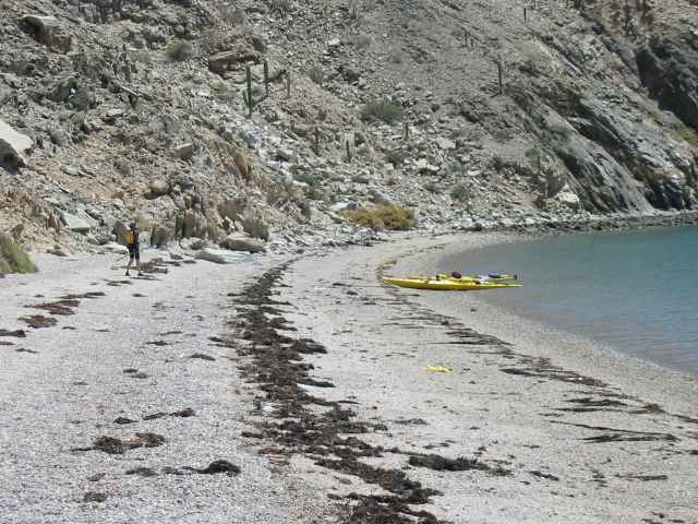
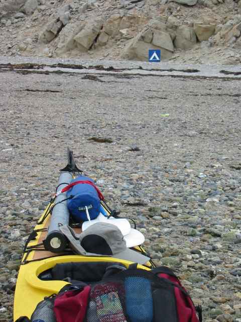
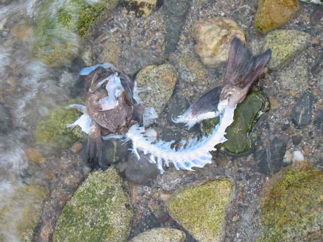
We chose a spot on the west shore of Isla Coronado to hide from the prevailing winds. To our surprise we found that this spot is a designated camping site, complete with a little blue camping sign. For our first day we had paddled a short distance to this island and camped early. This gave us plenty of time to pack the first time and start getting used to the boats. Isla Coronado is the nearest small island to the big Isla Angel de la Guarda and a good place to start our long crossing the next day. Patrick caught a large spotted sea bass for dinner. He intended to get a picture of every fish he caught, but we were a little hungry and took this picture a little late.