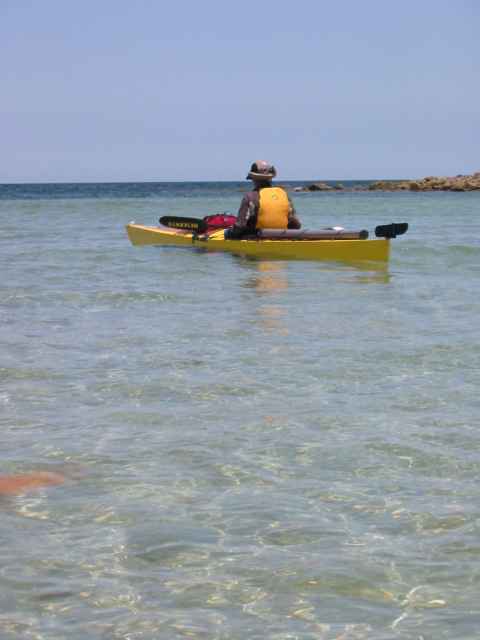
The wind did not start to calm down until lunch time. Although we had planned a long paddle for the day and there wasnt much day left, we jumped up and finished packing to launch around 1:00 PM. The cruiser Mils-O-Mar took off while we were getting ready, as did a fishing boat that had anchored farther off shore to wait out the wind. There is an island, Isla Estanque, just offshore here that has a natural harbor in the crater of a sunken volcano. We decided to take the time to paddle into this and look around. This is supposed to be a good safe harbor for boats in a storm, but the shoreline is rocky, low and inhospitable to kayakers. The entrance to the harbor is shallow and the cruising guides recommend entering from the north at high tide. In kayaks we were able to paddle south over a shallow spit that extends to the main island. As we headed south we saw the yacht Solstice attempting to enter the harbor behind us. Later we talked to them on the VHF and heard that their keel was too deep and they were unable to get in.
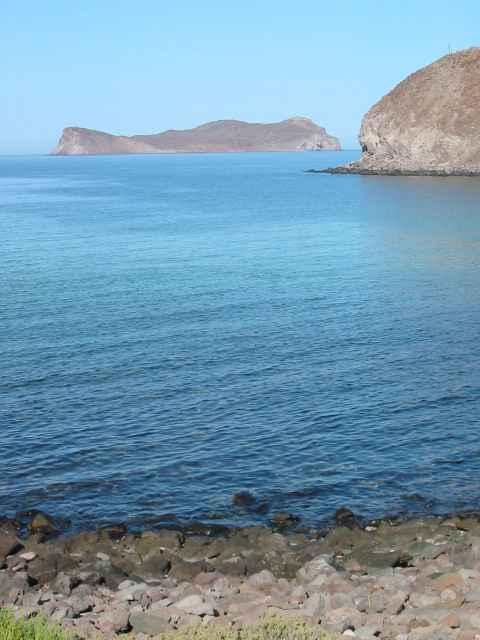
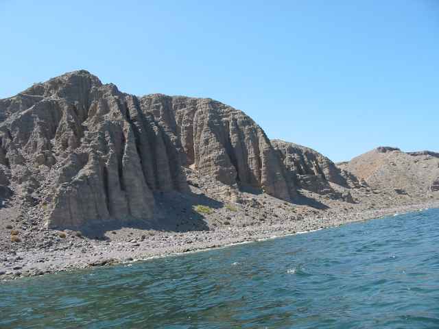
The southern tip of Isla Angel de la Guarda extends just a few kilometers south of the 29th parallel. Since charts and maps tend to end and begin on parallels, several lazy cartographers have moved the tip of the island north a little bit to save on having to draw the island on two maps. When the high resolution topographic maps for the island finally came out they probably didnt know that the island extended that far and never got around to printing a map of the southern tip. So when we crossed the 29th parallel (I could not see the large dark line in the water that I saw on the maps) we were in uncharted territory!
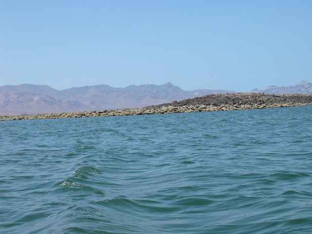
The advice that I had received about the southern tip of the island was that it was a place of very strong winds. We were warned to duck around the point as early in the morning as possible to avoid getting caught in the typical strong north wind in the afternoon. But we had been plagued by westerly winds this whole trip and a more common pattern for us was wind in the morning calming by afternoon. So as we rounded the tip we had beautiful calm air. The water was also very calm so I cut the corner very closely and tried to surf the little waves close to the island. I cut it a little too close and banged a submerged rock with my kayak. But since it was my plastic touring boat I didnt worry about it.
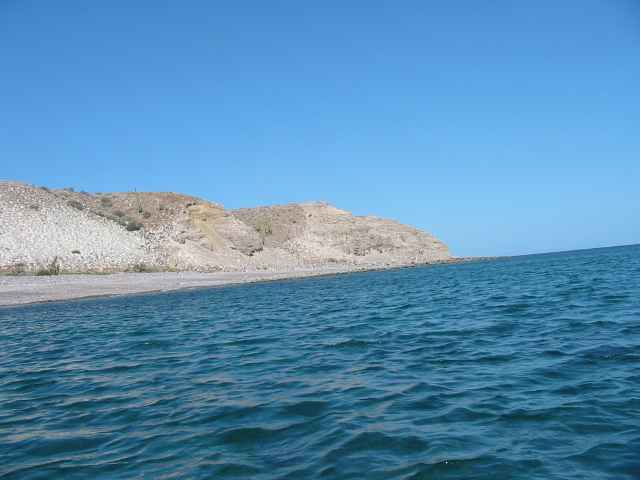
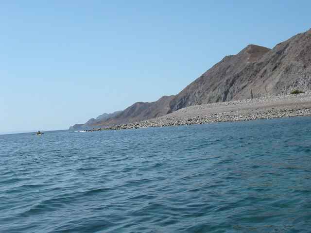
When we started back up the west side of the island it was late in the afternoon. Despite our late start the weather was calm and we had no problems catching up with our planned itinerary for the day. We made it to Playa des Iguanas or Los Corralitos as it is called on the maps, a little after 6:00 PM. The sun was getting close to the tops of the mountains on the main peninsula and we had to hurry to get dinner going before it got dark.