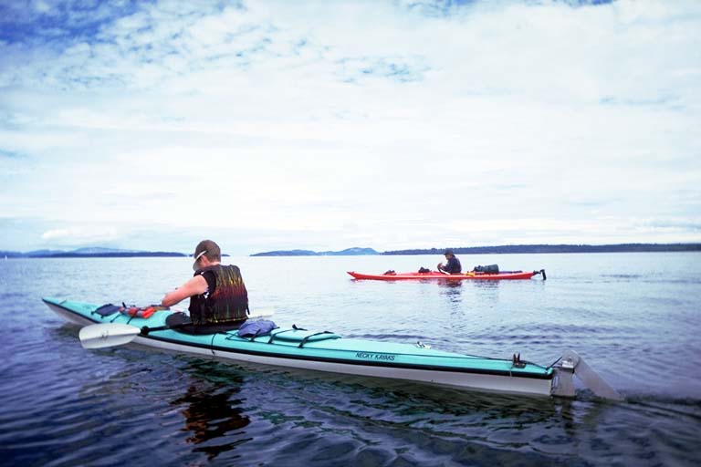
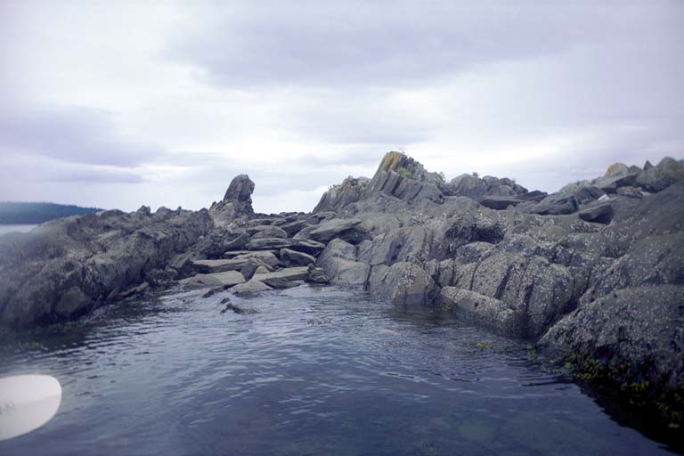
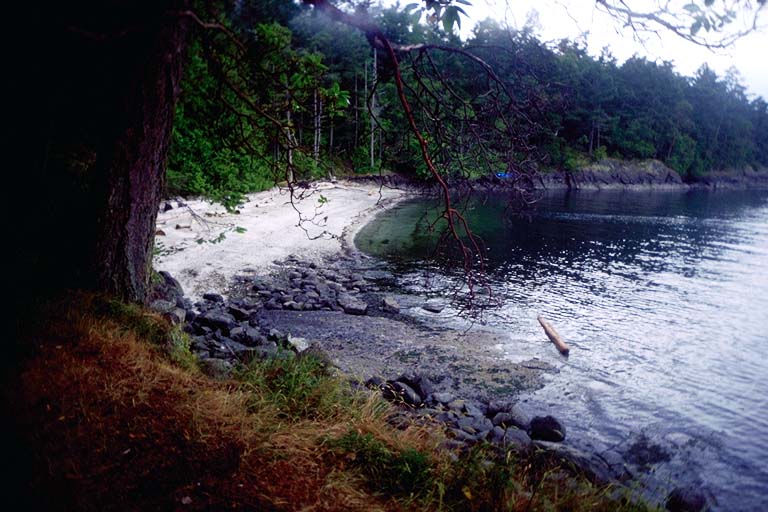
On Monday morning June 21st we launched from Popeye's Campground just south of the city of Sidney. We paddled diagonally across the Cordova Channel to the north tip of James Island, then set a course for the Sidney Spit on the north end of Sidney Island. We turned north before we got to the spit and cut directly across the ferry lane to head north to Coal Island. We stoped there briefly for lunch. Around the east shore of Coal Island we could see our goal of Portland Island. Finally we paddled straight across the Shute Passage into Tortoise Bay behind a ring of protecting rocks and small islands. All of Portland Island is a park, the Princess Margaret Marine Park, where we planned to set up camp for two days. Despite all the islands we passed in our first day the trip was only around 10 kilometers. An easy morning paddle to me.
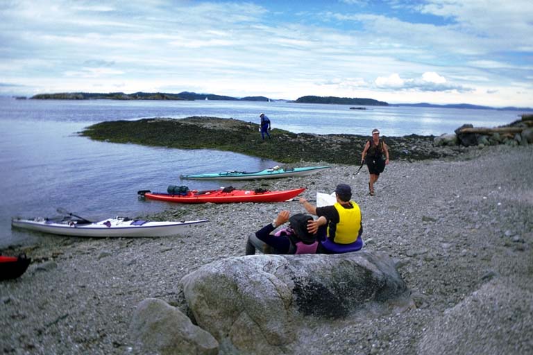
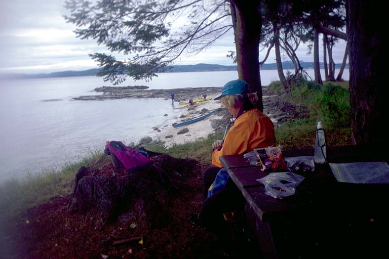
On Tuesday morning June 22nd Maryly and I got up and canvassed for others to join us on circumnavigating Portland Island. A group of people left to paddle across the passage to Moresby Island. They landed on a beach that turned out to be private and exchanged words with the caretaker. I preferred to paddle close to shore on the public island that we were already camped on and avoided the long crossing and the cross caretaker. Maryly and I in a double kayak, Steven, Martin and Maryanne in singles, spent a leisurely 4 hours paddling 8 kilometers around Portland Island and looking into every nook and cranny of the shore. We decorated our boat with purple starfish only to find out later that they were difficult to remove without damaging them.
On the extreme north tip of Portland Island, half way around our day, we got out of our boats to sit on the beach for lunch. One of the ferry boats went by and then a quarter of an hour later the wake arrived as large breaking waves on the beach and made us all jump up to save our boats from being washed away.
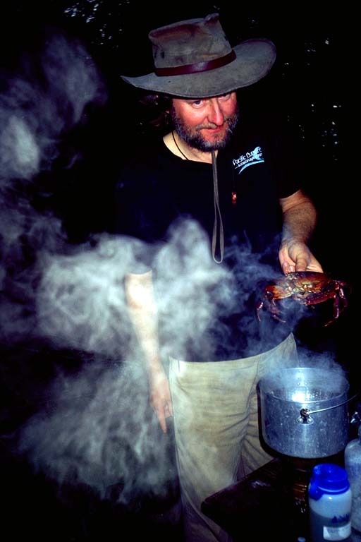
When we made it back to camp I set out a crab net I had made. Last January at the BASK "Inventors Night" meeting, Joe Petolino showed us a crab net he had made several years before. It was a ring of aluminum rods connected by bolts with wing nuts with a piece of fishing net stretched across. It folded down to a small package for taking inside a kayak, but was difficult to unfold because the wing nuts tangled in the net. "That is why" said Joe at the inventors meeting "I built Rev 2.0". He picked up a package of netting wrapped around shock-corded PVC pipe and tossed it in the air. The shock cord pulled the joints together and the package assembled itself in mid air into a crab net! We all cheered for the great invention! Then I went collecting parts to make my own. I added lead weights strung on the shock cord to help mine sink faster, so I'm calling it Rev 2.1.
When we left Popeye's Campground, a First Person sold Don Barch a bill of goods. He offered to sell Don some smoked salmon, smoked the "Indian Way" (his term, not ours). When we got to Portland Island we discovered that it wasn't salmon. I think it was smoked rock cod. Don used some of it in a stew the first night and gave me the skin to use as crab bait. The way a crab net works is you tie something smelly in the center of a circular net (octagonal in my case) and drop it to the bottom. Every 15 minutes or so you pull it back to the surface. Any crabs who were munching on the bait get pulled up. This worked twice and then I could not get any other crabs interested in the soggy fish skins. On a trip to this area the previous year, BASKers had picked up dungenes crabs but my two were rock crabs. I steamed them for dinner and people discovered that they were more difficult to pick than their larger dungenes cousins. So two of them were more than enough for everyone.
On Wednesday morning June 22nd we were supposed to get up early and pack to paddle to D'Arcy Island. At 8:00 AM in the morning nobody wanted to pack up to leave. A bunch of excuses were given. One was that visibility was too poor to paddle across the ferry boat lanes. But we could still see Coal Island three kilometers away and the visibility looked OK to me. Barbara had given herself blisters on her hands when chasing whale spouts north of Moresby Island into rough water. I suggested to Don Fleming that the real reason we didn't launch was because nobody wanted to pack their gear up in the light rain we were having that morning. Don said, "I don't THINK that is the reason, I KNOW that is the real reason". Whatever the real reason, we spent another day on Portland Island.
Maryly and I spent the day throwing the crab net and hiking around part of the island. Even though I switched to a nice juicy piece of salami, we only got one "nibble" on the crab net. This was a crab that nibbled on the bait from underneath the net and was able to drop off before I got the net to the surface.
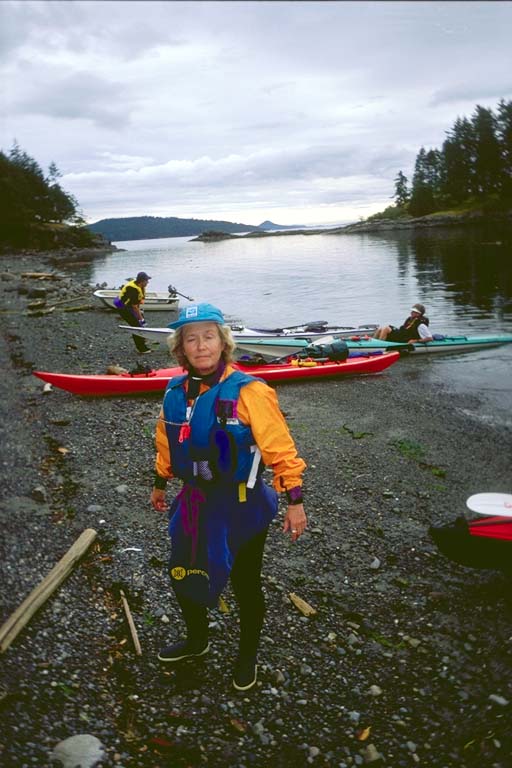
Thursday morning June 23rd we packed up to move. It was raining again so we had to pack up in the rain anyway. And the visibility was even worse than the morning before, with a dense fog close to the water when the light rain petered out. We occasionally got glimpses of Moresby Island to the east and Coal Island to the south but most of the time we had only a hundred meters of visibility on the surface of the water. We split up into two groups. One that was planning to go across to Coal Island then cross the ferry lane to the Sidney Island Spit for lunch. Maryly and I joined the other group that was going to "island hop" farther west to Rum Island. The plan was to do a long crossing in the fog to a series of small rocks north of Brethour Island. I suggested that we cut across to Moresby Island first and follow its shoreline south. Maryly and I were the last ones to launch so we were not part of the final decision. The choice was to not go to Moresby but stick with the original long crossing.
Unfortunately this was never communicated to Maryly and she was distressed to find us making the long crossing with poor visibility in the fog. Jack Pines was our navigator and we started out on a compass bearing into the fog. Fortunately Jack also had a GPS unit with him and it informed us that we were pushed way off course by a tide current. At one point we rafted up to rest and Jack informed us we were moving at 2 knots sideways without paddling! Maryly says that she is used to watching kayakers navigate by keeping their heads up and watching where they were going, but Jack's head was usually down looking at the instruments in his lap. I heard later that Jack flew a private plane up to Sidney by instruments, so this was probably a comfortable way for him to navigate. Maryly was further distressed to watch Jack change course several times in the middle of the fog. Don Barch thought that he was overcorrecting for the way the GPS averaged velocity and direction. I think the cross currents changed from time to time and required changing our ferry angle.
When she wasn't distressed about the choice of course, the long crossing, the lack of communication, and the seemingly erratic course, Maryly admitted that it was an eerily beautiful trip. The fog prevented us from seeing where we were going, but it was often open to the sky above, showing us fantastic high clouds in a field of blue. Occasionally we would get a glimpse of the top of Moresby Island to our left or Coal Island distantly to our right. The water was smooth with no ripples and reflected the sky like a pool of quicksilver.
Eventually I saw an outline ahead and to our left and shouted out "LAND HO! " We paddled over and discovered that we had arrived within a hundred meters of our intended course, at a little rock called Reay Island. We stopped for a break and discovered that the shallow waters around this island were full of oysters. Many of them were not even attached to rocks and we simply picked up a big bag of them for dinner that evening. I told Jack that he did a "Damn good job of navigating!".
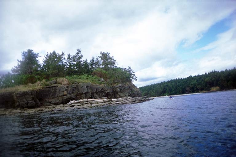
From Reay Island it was a short distance to everyplace else we wanted to go and we could navigate by sight again. We hopped from Reay to Brethour to Domville to Comet to Gooch Island. The eastern point on Gooch Island is actually another island connected by a spit. This is Rum Island where we stopped for lunch. This little island is also a Marine Park called "Isle-de-Lis" where we could have camped if we did not have an appointment to meet the other group on D'Arcy Island.