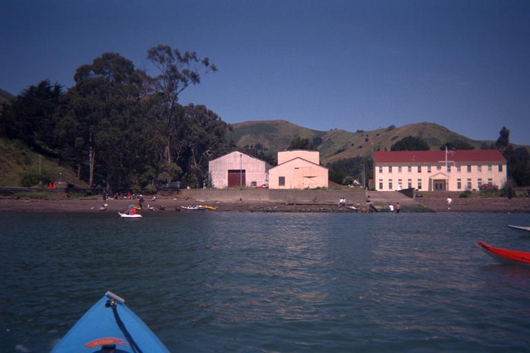
This trip was supposed to go from Schoomaker Beach in downtown Sausalito to Horseshoe Bay and back. Horseshoe Bay is apparently a popular place for the BASKers to start and end trips, so when I mention Horseshoe Cove (north of Salt Point State Park) at a meeting, everyone assumed I meant Horseshoe Bay in San Francisco Bay. This is an example of 'collisions in name space' that seems to happen a lot with the names of things on the ocean. I have landed on 3 different Shell Beaches, one in Tomales Bay in Marin County, two on the Sonoma County shore. I know two different Elephant Rocks. Every arch is called Arched Rock, there are probably hundreds of Seal Rocks, and as many Bird Rocks up and down the coast. It turns out that Horseshoe Bay is the little tiny cove just next to the Marin base of the Golden Gate Bridge. I launched from there once to paddle out to Diablo Point and back. It is really a tiny little sheltered harbor only 300 meters across; with a Coast Guard station, a pier used for fishing, a public boat ramp, and a little sandy beach. My Horseshoe Cove is over a kilometer across from point to point, has long rocky beaches, submerged rocks, much less protection from the waves, rocky cliffs 200 meters tall, and very poor public access. There doesn't seem to be any standard for what was named a "bay" and what gets named a "cove".
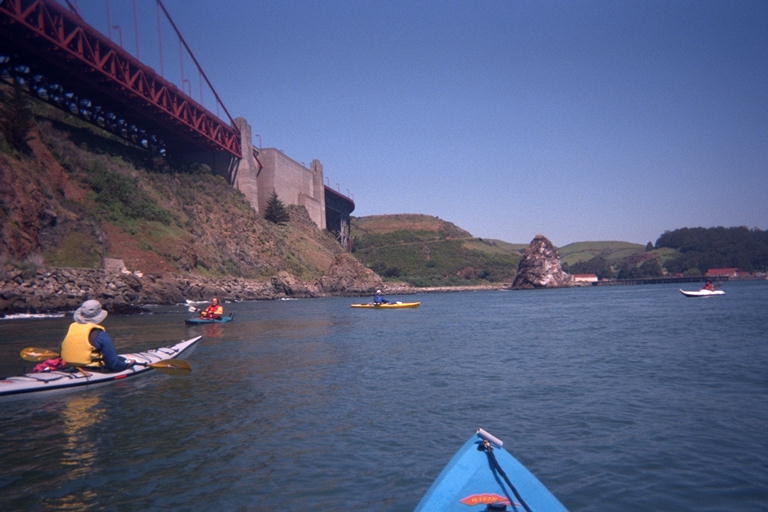
I waned to join this BASK trip, but the thought of finding parking in downtown Sausalito was too much for me. However, I have a kayak! I can park anywhere and paddle to the meeting! Rather than go looking for a place to park, I went to a place I already knew about: I parked at Horseshoe Bay and did the trip backwards. The trip in I would do in my usual solo mode, and on the trip back I would do the group kayak thing. By leaving an hour early and paddling 4 kilometers up into Richardson Bay, I arrived right on time. There were a hundred kayaks on the beach. Oh No! But some of these people were getting paddling lessons, and others were clumped in groups with kayaks all the same color. BASK does not have equipment and was not giving lessons this morning. They must be only one of the groups here. I know that BASK usually insists that everyone on their trips wears a wetsuit, and there were not many wetsuits on this beach. So I only had to walk up to two groups and ask for BASK before I found the right one. There were only 12 people, counting me, and one more who showed up just as we were leaving.
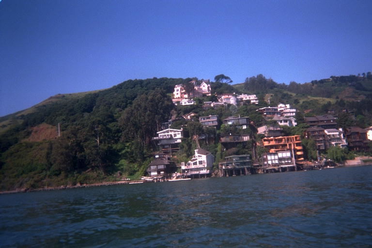
While I was paddled to the meeting, I pushed hard to arrive on time and didn't stop (much) for sight seeing. So I was a little disappointed when the group cut straight across from point to point and didn't go close to shore for the kind of sight seeing I wanted to do. When I stopped to change cameras, everyone pulled ahead and I had to push hard to catch up. I did stop to take a picture of the Sausalito City Limit, a visible line you can see because there are lots of houses on one side of the line, and none on the other. I also paddled right by a black crowned night heron, who was sitting on the shore in broad daylight. He apparently hasn't read his procedures manual yet.
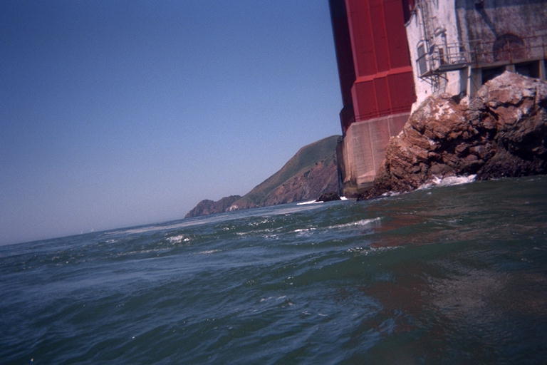
When we got to Horseshoe Bay, half the group went straight in to the beach for lunch and the rest went a little farther to a collection of rocks next to the base of the Golden Gate Bridge. The last time I went past here, I did not have a camera with me, so I started taking a bunch of pictures. I paddled out to the end of Lime Point to take a picture under the bridge towards Point Bonita. There was a wind blowing me back north, and a strong eddy current pushing me back most of the way. But when I nosed around the point I caught up with the ebb current running directly out of the Bay. The maximum ebb current was not supposed to be for another hour, and would be 2.8 miles an hour. I have paddled out here against a flood current greater than 3 miles an hour, so I felt reasonably safe this time.
Not everyone shared my self confidence, and a couple regular BASKers zoomed closer and waved me to come back. With an ebb tide, if I messed up I would get sucked out of the bay instead of pushed back in. They feared I was so wrapped up in taking pictures that I was going to let myself get washed out to the Faralon Islands. More group dynamics: Now I can't just worry about myself, I have to worry about what everyone else is worrying about me. Looking around after I took my picture, it was a little scary seeing an enormous amount of water rushing the wrong way around the rocks next to me. Reading 2.8 in the Tide Log is not the same thing as seeing it and paddling upstream against it.