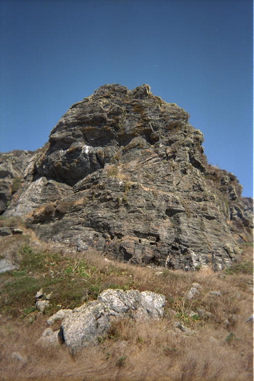
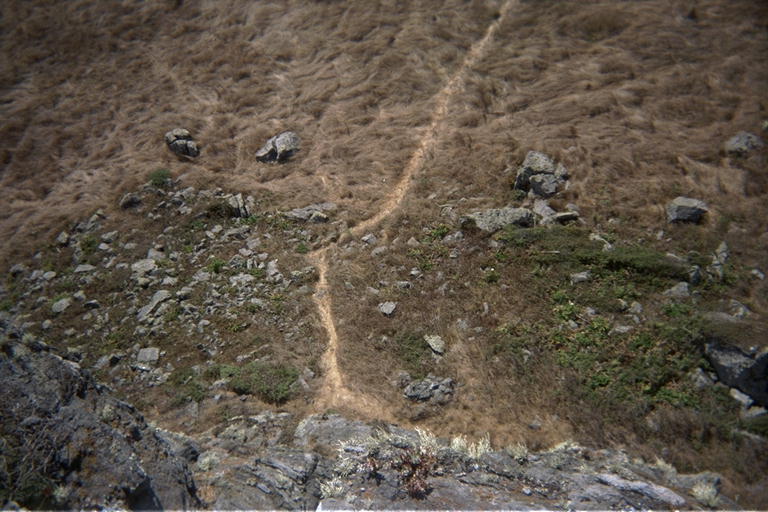
There was a group of people on top of the 'stub', so I walked around it once and on to a place to stand on the cliffs above the water for a few minutes. Even with 6 or 7 foot swells, it looked like there were some accessible places along the shore. I think I paddled past here once a long time ago, but it looks like a place I could explore again with the kayak one day when I don't feel like a long drive to a new place. Before I headed back, I saw the previous party descend, so I climbed up to the top of the 'stub'. Every time I have walked past here with Marty, doing things like climbing to the top of a 20 meter volcanic plug is totally out of the question. If I stop for things like that, Marty will leave from boredom waiting for me, or will leave to avoid having to watch me get 'too far' off the ground. Marty does not like heights, and claims to have seen my life flash before her eyes when I simply leaned down a flight of stairs. Without having to worry about the effect on Marty, I ran right up to the top of the 'stub'. There is a trail starting on the west side. It goes up a short talus to the vertical face, then curves around the south side and up the edge of the big talus in the back. You have to climb up a few steep rocky places, but eventually the beaten path curves around until you are facing west, and standing on top of the vertical face directly above where you started.
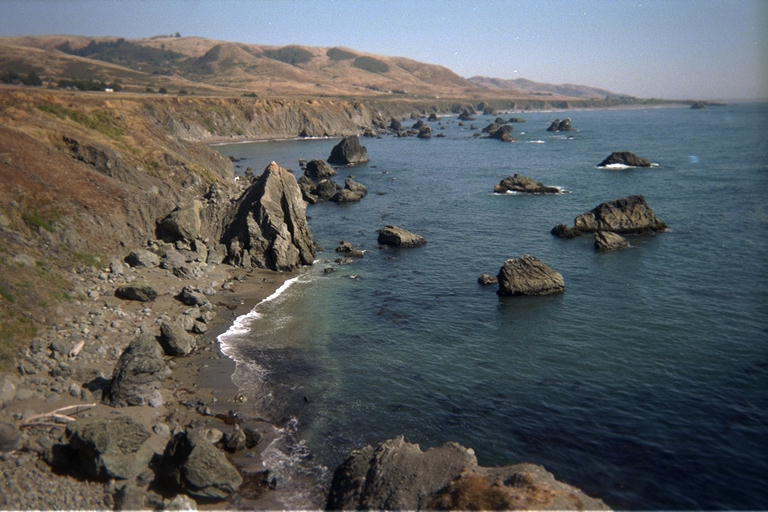
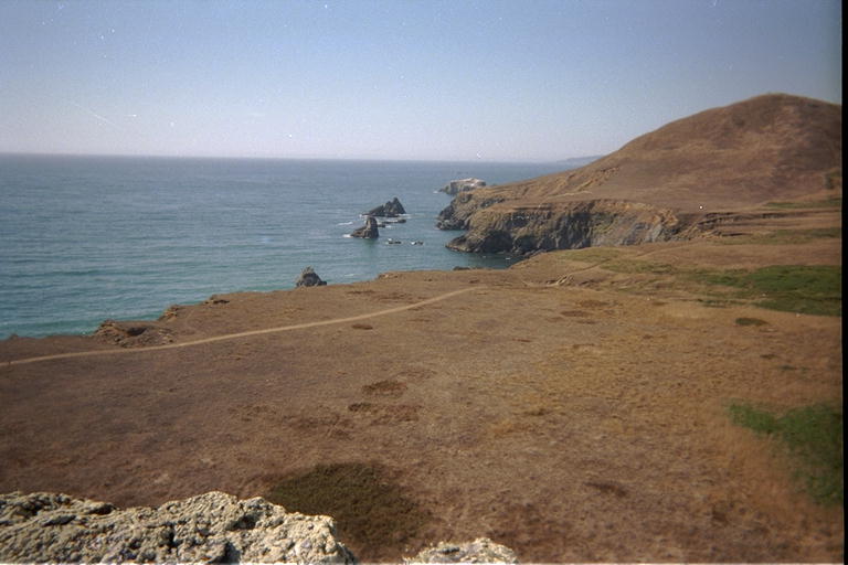
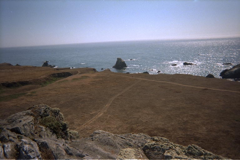
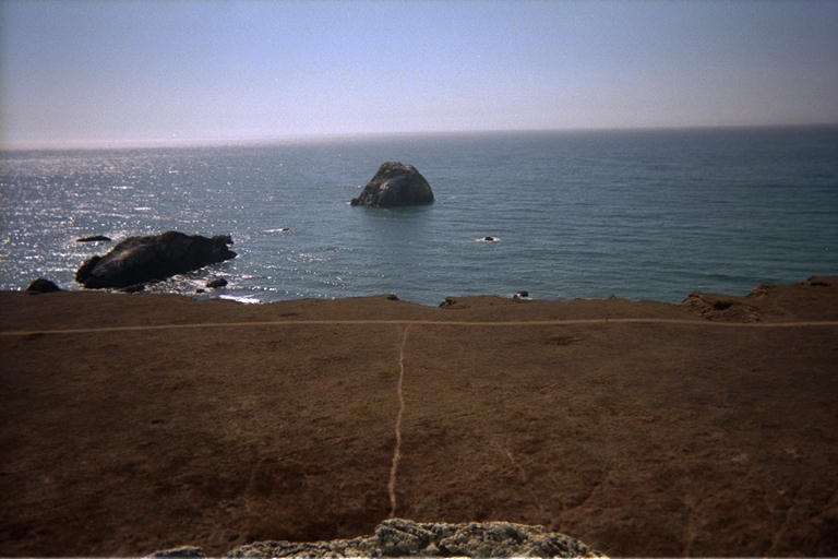
The next morning, Wednesday, the waves were too rough to do the Point Reyes trip, and getting worse. I probably could have survived it, but the northern most point of Point Reyes looks like a beautiful stretch with 120 meter cliffs dropping into water full of large rocks to paddle between. I decided to save it for a calmer day and aborted the trip. In retrospect, I could have gone out Tuesday evening, since I didn't need the wetsuit on Wednesday. On Thursday the waves were even higher, in preparation for a mild storm on Friday. I worked inside all day Thursday, and went out to get some exercise and see the sunset in the evening. I went to Goat Rock Beach again, and ran down the Kortum Trail to try to watch the sunset from the top of the 'stub'. The sun went behind a row of clouds as I walked down the trail, and cast some beautiful red-orange beams under the clouds onto the ocean. Even these beams disappeared by the time I made it to the top, and I ended up missing the sun completely from the top of the rock. But as I sat up there and caught my breath, the view was still worth the trip. The ocean was very rough, with a strong wind blowing up whitecaps. Just around the next point to the north, I could see my old friend the Arched Rock at Goat Rock Beach. Perspective made the difference between the edge of the bluff and the water seem like a very short drop. The flat grasslands between the rock I was on and the edge of the bluff looked like a well manicured lawn from this height.