When I got there I found the gate locked shut. The old rusty sign on the gate says "Park is closed from 9:00 PM to " with the opening time blank. There is a big sign down on the grassy area of the park that says "Beach Closed", but that sign has always been there, including the last time I used the beach. I remember wondering what that meant last time. It would be nice of them to give a little more explanation. Like "Beach Closed to swimming because there are several megatons of sharp scrap iron dumped in the water by the Navy over the last 50 years and the city cannot afford to remove it". Then people who wanted to walk on the beach or fish from the shore would know that the beach was not closed to them.
Just north of the not-so-public beach is an old Navy armory with razor-wire topped fences and warning signs. The road runs through the middle of all this old Navy land, with "Keep Out! US Property" signs most places. But in a few spots the road runs close to shore, the fences disappear, and local fishermen often park there to fish in the Bay. I figured this made parking my car between the road and the shore a little safer. I wasn't afraid that vandals would smash my car or thieves would steal it. I was more afraid of having my tax dollars at work (city state or federal police) tow my car away while I was away. In case this did happen, I took my street cloths with me in a dry sack.
I parked next to a short dirt trail down to the beach, probably shorter than the walk at the public beach. And this put-in was closer to Point San Pablo and cut 3 kilometers off my round trip.
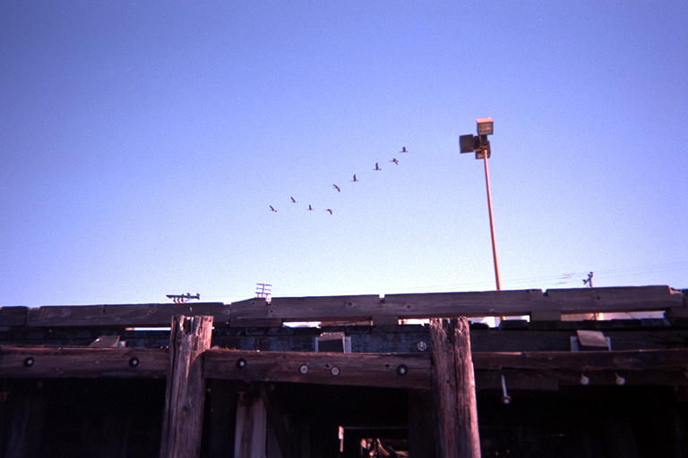
I paddled north between the two Brother Islands. The tide was an hour or so away from maximum flood but was probably not going to low faster than 3 knots. I looked for tidal rip currents between the island, and found some dancing water behind the East Brother. There was also a gaggle of Canadian Geese resting there in the slack water behind the island. I managed to stay far enough away to keep from spooking them then saw them flying by a few hours later.
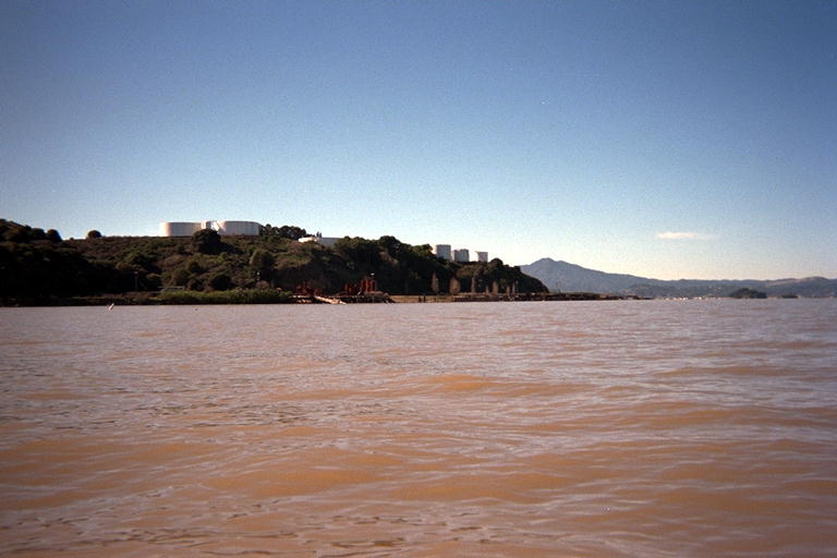
I paddled past a tank farm on the point, then around Point San Pablo Yacht Harbor. After this there was another newer looking yacht harbor behind a long artificial breakwater. The next point of interest on my tour was a working refinery so I turned north a little early to avoid it. This also allowed me to go around the Richmond Municipal Dump without getting down wind from it.
The Richmond Dump is a piece of former marshland that is now a truncated pyramid perhaps 60 meters tall. When it is completed, it may rival the pyramids of Egypt. I figure in about 10 million years the highly evolved rodents that replace us will decide that this pyramid was built for religious reasons. After so long a time, their archaeologists will not be able to tell if all the consumer goods were buried new or broken. They will conclude that we were ancestor worshipers who buried VCRs and computers in this hill for our departed parents to play with in the afterlife.
This San Pablo Bay area is dotted with duck blinds. I paddled close to one and wondered how they were built. Did the hunters rent one of the rusty barges from Point San Pablo Yacht Harbor and drive 4x4 posts into the mud by hand? I saw a boat next to one of the duck blinds and considered going over and talking to them. But before I made up my mind, the mountain came to Mohammed. The boat I saw was pushing the duck blind and it came right past me. Now I know how some of them were installed!
Besides duck blinds, the Bay was also dotted with little floating balls of roots. I guess these were knocked loose by all the flooding in the Sacramento river recently. They usually had all their leaves or reeds broken off of them, but looked green and healthy even in all this salty water. Their roots had a triangular symmetry, with three bulbs sticking out around the root ball hanging down. The result was very stable in the water and would flip right side up again if you tipped it over with a paddle or the keel of a boat. A very clever adaptation. I assume they will wait for a low tide to bury them in the mud to start a new colony.
With the tank farms, refineries, and city dump, this was not a neighborhood I ever want to paddle past again. So I was eager to find somewhere to launch from for the next leg of the Bay in this area. I paddled hard past the dump looking for another yacht harbor, beach community, or road next to the water. I gave myself an hour and a half paddling north and an hour to paddle straight back. This would give me time to drive home and take a few nephews boogie boarding this afternoon as promised.
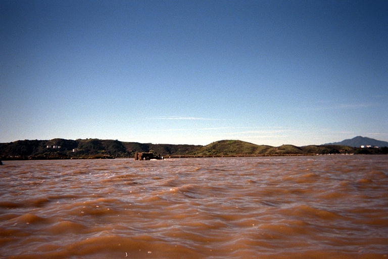
Just about out of time, I approached a pier on shore north of the dump. I heard shots going off and figured I was approaching a gun club. There were cars parked out on the point, so I knew that I was safe. They wouldn't risk dinging up their own pickup trucks. I paddled close enough to read the sign on their boat ramp: The Richmond Rod and Gun Club. I'll try calling them up and asking if they will let me use their boat ramp next week.