On Wednesday morning I was in Berkeley, and the weather was very nice. In my case "nice" means that the swells at sea where very mild, only 3 feet. It seemed a shame to waste a calm morning by going on a trip in the mild San Francisco bay. But to get to the ocean would have required an additional hour drive each way to get to the nearest beach. So I went to the west end of the Richmond San Rafael Bridge next to the San Quentin Prison and started south around the Tiburon Peninsula. I thought that I might make it to Angel Island and back. But I wanted to meet Marty for lunch, and I had to turn back after only an hour and a half on the water.
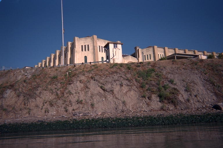
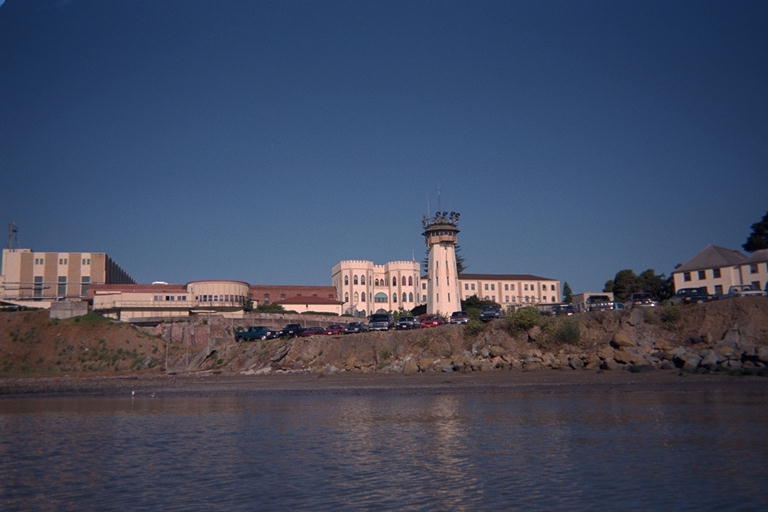
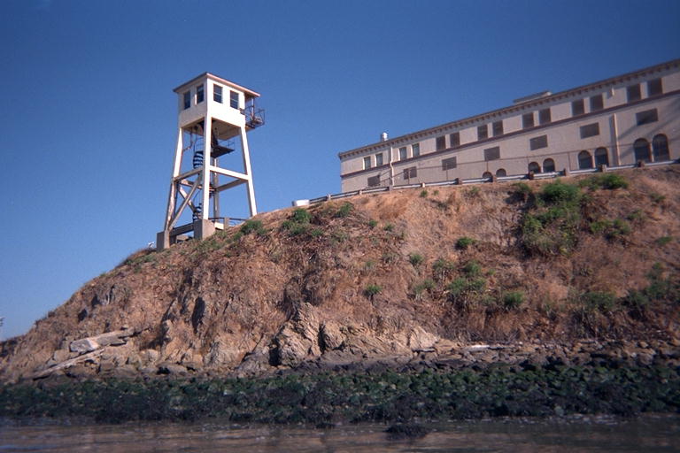
I was able to paddle past the ramparts and towers of the prison, and around the corner past their loading docks. I expected to see signs telling me to stay away from the shore near the prison, but there was no documentation facing the water at all. There were signs on the road leading to the prison which suggested that you not pick up hitch-hikers in the neighborhood. But I was able to paddle as close to shore as I dared without any warnings.
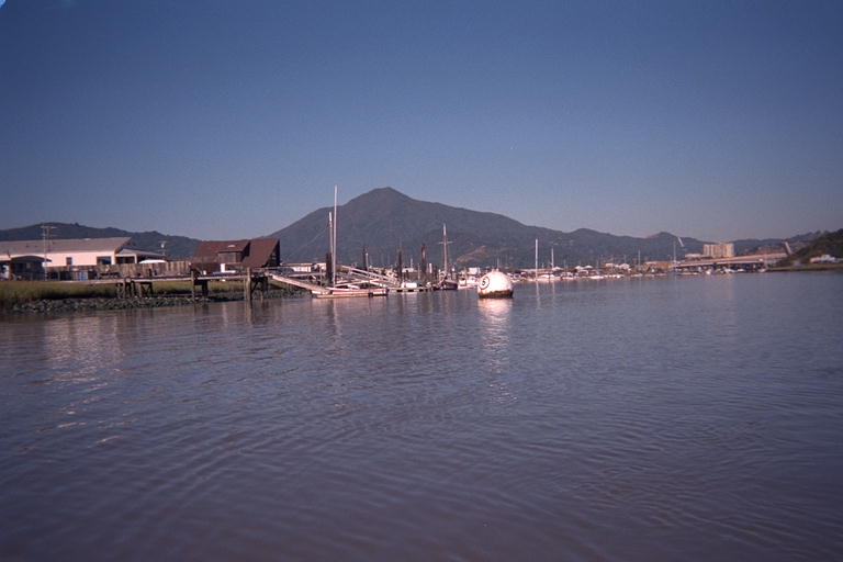
At the opening of the Corte Madera Creek is the Larkspur Ferry Terminal. A few ferries came and went as I was paddling across the south side of the prison. Then I crossed over the narrowest part of the opening of the creek. I was amazed at how narrow the creek was at this point, and wondered how they keep the channel clear. My paddles struck bottom in the mud on both sides of the channel, and it seemed barely wide enough for those big ferries to get in and out. There were channel markers running very close together from the ferry terminal way out to deeper water. As I paddled out the south side of this channel, my paddles hit bottom almost everywhere and came up muddy. I had to stay pretty far from shore. I'll bet the channel for the ferries requires almost continuous dredging to keep it open.
South of the Ferry terminal, the shore is part of the Corte Madera State Ecological Reserve. From the water, this is just a muddy bank topped with grass. There are a couple little creeks in this reserve that I could see as dents in the bank until the angle was right to see down them. Looking over the grass and farther inland, I could see Highway 101 arching over the places where the creek must come from. I was amused that these small muddy creeks could cause the huge concrete freeway to arch up and over to avoid them!
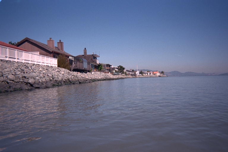
South of the reserve is an old style beach community, perhaps a little better maintained than many I have paddled past. (Marin County and especially the Tiburon Peninsula is an expensive place to live). Soon I came around Paradise Cay. This point has a more recent development that has canals for a yacht marina with roads and expensive looking houses on the artificial peninsulas. When I came around the south corner of this development, I was about out of time. So I turned back to get back to Berkeley in time to run some errands on my way to meet Marty for lunch.